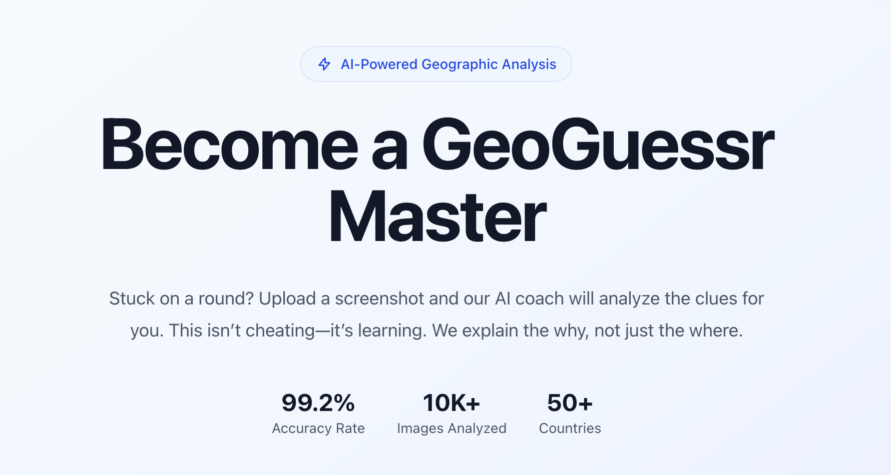
Reverse Image Location helps users estimate where a photo may have been taken by analyzing visible scene evidence. It explains clues such as road markings, signs, architecture, vegetation, terrain, camera context, and map patterns, then turns those clues into a transparent location hypothesis. The tool is built for OSINT researchers, GeoGuessr players, geography learners, travel researchers, and anyone who needs a practical way to reason about image location. Unlike a simple reverse image search, it focuses on explaining why a place may fit and encourages users to cross-check outputs with maps, satellite imagery, street view, reverse image search, and sun or shadow evidence.

Reverse Image Location
AI photo geolocation with visual clue reasoning.