GeotaggingPhotos – Online Photo Geotagging & Metadata Management
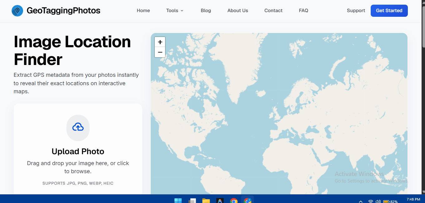
GeotaggingPhotos is a powerful, privacy-focused online platform designed to make photo geotagging and metadata management simple, fast, and accessible directly from your web browser. Whether you are a professional photographer, traveler, real-estate professional, drone operator, researcher, content creator, or business user, GeotaggingPhotos provides an easy way to add, edit, replace, and inspect location and metadata information in your images without relying on traditional desktop software.
With GeotaggingPhotos, users can upload a single image or process multiple photos at once. The platform allows you to add or modify essential GPS information, including latitude, longitude, altitude, and other location-related metadata. If your photos already contain location information, you can detect and inspect the existing GPS metadata before making changes. You can also use your current location to quickly add geographic coordinates to your photos, making the process convenient when working with images captured during trips, fieldwork, property inspections, or outdoor activities.
Beyond GPS coordinates, GeotaggingPhotos provides tools for managing a variety of image metadata. Users can rename image files, add descriptions and keywords, manage author and copyright information, and inspect available EXIF data stored within their photos. This makes the platform useful not only for geotagging but also for organizing, documenting, and preparing images for professional or personal use.
One of the key features of GeotaggingPhotos is its bulk photo processing capability. Instead of entering the same location information repeatedly for every image, users can select multiple photos and apply the same GPS coordinates and optional metadata to them simultaneously. This can significantly reduce repetitive work when processing large collections of photographs taken in the same location or during the same project. Bulk processing is particularly useful for photographers managing shoots, real-estate teams documenting properties, drone operators organizing aerial imagery, researchers handling field photographs, and businesses maintaining large image collections.
After processing, users can download their updated images individually or package multiple processed photos into a convenient ZIP file. This streamlined workflow makes it easier to handle large batches of images while keeping the process straightforward from upload to final download.
GeotaggingPhotos is built around a browser-based and privacy-focused workflow, providing a convenient alternative to installing specialized metadata or photo-management applications. The platform is designed to help users manage their images efficiently while keeping the process accessible from modern web browsers.
Whether you need to add GPS coordinates to travel photos, correct inaccurate location information, organize real-estate images, prepare drone photographs, document research findings, or manage metadata across a large collection of images, GeotaggingPhotos offers practical tools in one easy-to-use online platform.
Explore the platform at GeotaggingPhotos and simplify the way you manage photo locations, GPS information, and image metadata.